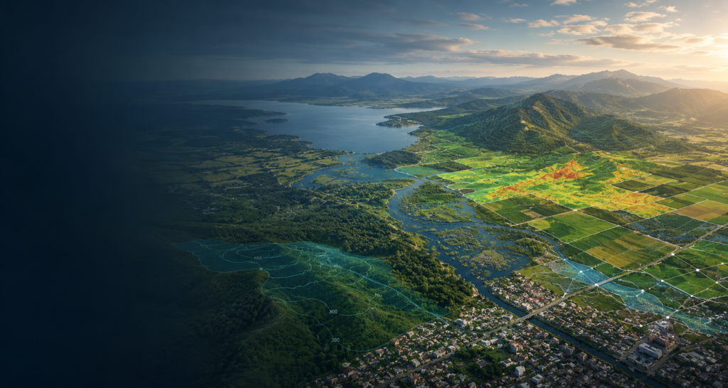
Turning Spatial Data into
Smart Decisions
Remote Sensing and GIS solutions for a sustainable future

Satellite Image
Analysis

GIS & Spatial
Analysis

Custom
Geoprocessing
We deliver scientifically rigorous, production-ready geospatial solutions that transform complex spatial and topographic data into reliable, decision-ready information for planning, analysis, and project implementation.
From advanced remote sensing to custom geospatial solutions, our services are designed to support high-stakes decision-making for international development, engineering, and environmental planning.
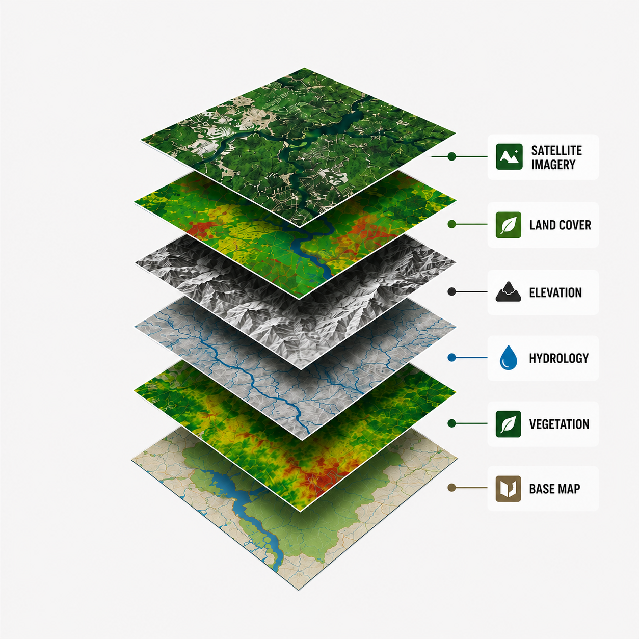
GIS, Terrain & Spatial Analysis
We process and model complex spatial and topographic datasets to help engineering firms and international development organizations assess risks, evaluate locations, and make evidence-based decisions supported by robust technical analysis.
✓ Multi-Criteria Site Suitability: Advanced raster- and vector-based spatial modeling to identify and evaluate suitable locations across sectors including agriculture, aquaculture, waste management, and infrastructure development, using scientifically rigorous multi-criteria assessment methods.
✓ Topographic & Terrain Modeling: Advanced terrain analysis using Digital Elevation Models (DEMs), including slope assessment, watershed delineation, and terrain modeling to support regional planning, infrastructure development, and engineering studies.
✓ Vulnerability & Constraints Mapping: Integration of environmental, terrain, and hydrological variables to assess groundwater vulnerability, identify spatial constraints, and evaluate natural hazard risks.
✓ Technical Cartography & Mapping: High-quality, technically precise thematic maps tailored for engineering master plans, environmental assessments, technical studies, and project reports.
Satellite Imagery Analytics & Remote Sensing
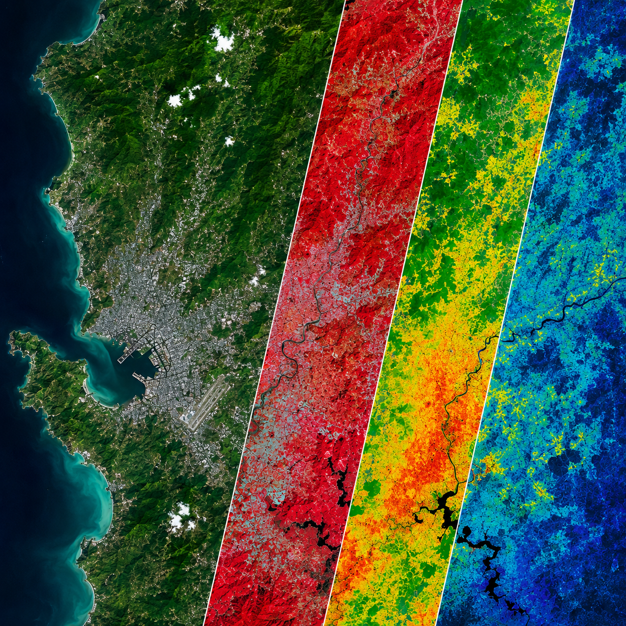
We leverage wide-area optical satellite imagery and topographic datasets to monitor large project areas, establish environmental baselines, and assess long-term spatial and regional trends.
✓ Vegetation & Agricultural Monitoring: Calculation and mapping of spectral indices, including NDVI, NDWI, and EVI, to assess vegetation condition, crop health, and land degradation indicators.
✓ Land Cover & Change Detection: Multi-temporal analysis and feature extraction to map land cover and land use changes, shoreline dynamics, and patterns of urban and rural development over time.
✓ Data Consolidation & QA/QC: Cloud and data-quality screening, together with the integration of multi-scene and multi-temporal datasets, to produce consistent, analysis-ready data for technical studies and engineering reports.
Geospatial Automation & Custom Tools
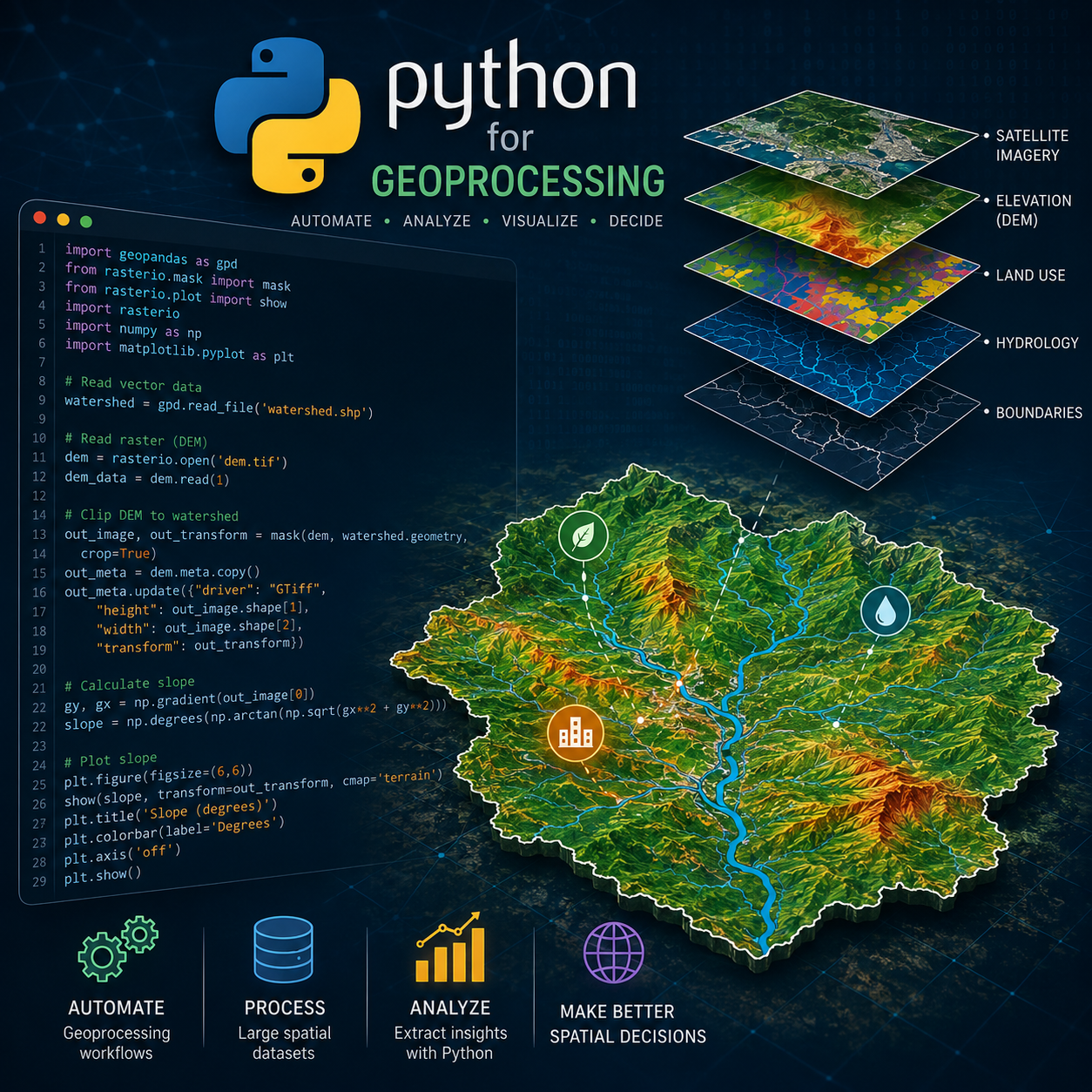
Eliminate manual processing bottlenecks, reduce data-processing errors, and minimize reliance on costly GIS software licenses. We develop custom Python scripts and package them as standalone desktop applications tailored to your project workflows.
✓ Standalone Desktop Tools (.exe): We package complex spatial workflows into lightweight, locally executable tools. Non-GIS staff can perform predefined spatial processing tasks through a simple graphical interface, without requiring individual ArcGIS or QGIS installations for those workflows.
✓ One-Click Workflow Automation: Automate repetitive tasks such as data cleaning, coordinate transformation, and geoprocessing, helping standardize workflows and improve processing consistency across project teams.
✓ Local & On-Premise Data Processing: Our custom applications can run entirely within your local or on-premise environment, allowing sensitive project data to remain within your organization’s infrastructure and reducing the need to transfer data to external cloud services.
Elevate Your Project’s Spatial Intelligence
Whether you are executing complex engineering projects, conducting environmental assessments, or bidding on high-stakes tenders, let’s discuss how our defensible spatial modeling, remote sensing analytics, and custom tools can strengthen your technical deliverables.

Chiba, Japan