Science-Backed Geospatial Intelligence for International Development & Engineering
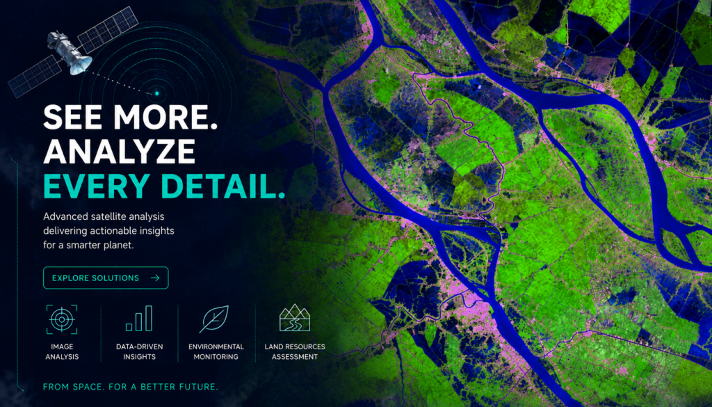
Combining 20+ years of spatial science experience with custom Python software engineering to deliver rigorous, regulatory-grade GIS and remote sensing solutions for high-stakes projects globally.
Why Hoopoe Geospatial?
✓ 15+ Years of JICA Project Experience: A proven track record acting as a trusted, specialized technical partner on complex official development assistance (ODA) and international development infrastructure projects.
✓ Scientifically Defensible Methodology: Models and analyses designed to the highest academic standards, backed by a background of peer-reviewed research published in scientific journals.
✓ Zero-License Software Automation: We bridge the gap between advanced spatial science and software engineering, delivering standalone, automated desktop tools that run locally with no recurring software costs.
Our services
Spatial Modeling & Terrain
Analysis
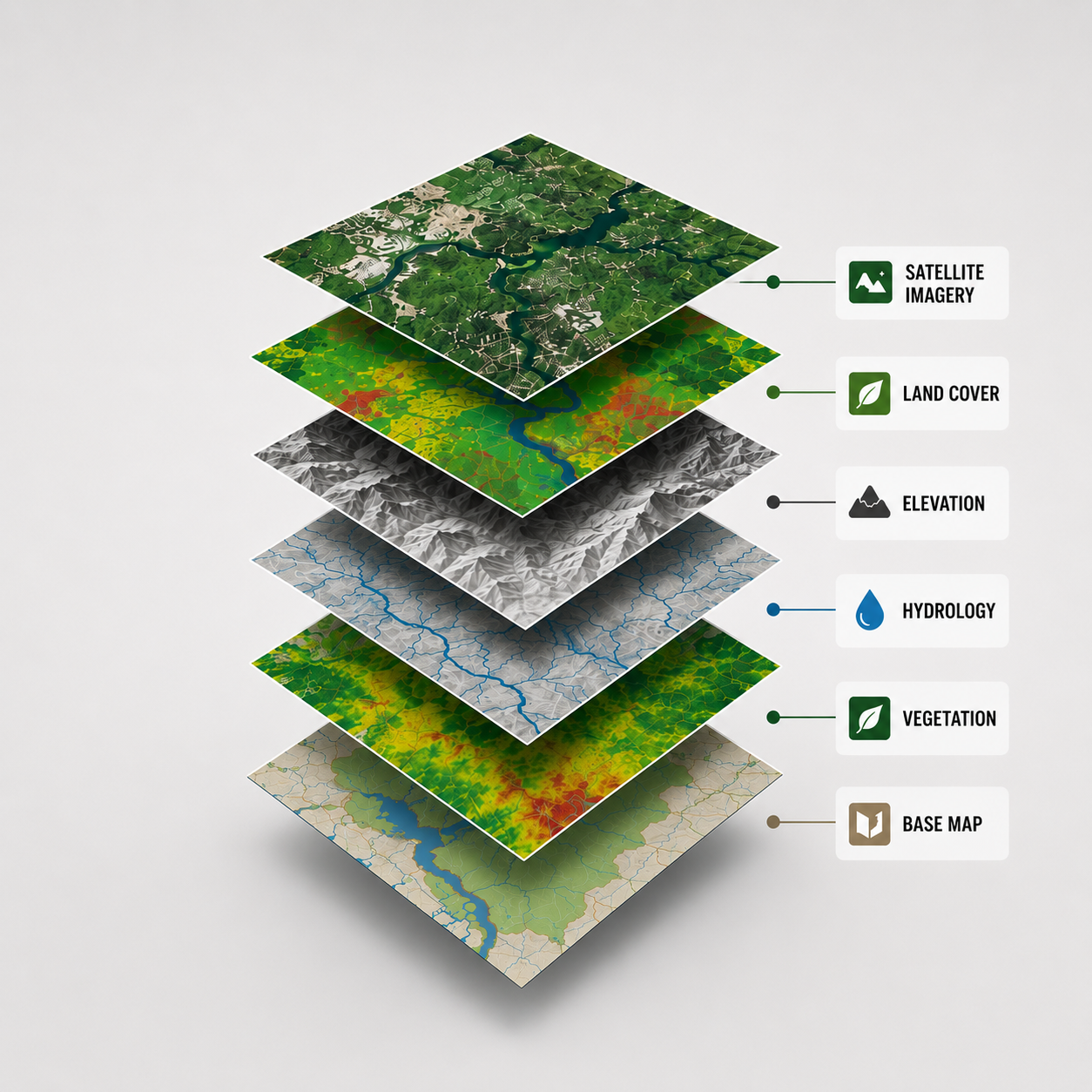
Multi-criteria raster/vector modeling and advanced topographic analysis utilizing DEM data for sector-wide land suitability, infrastructure planning, and hazard mapping.
Satellite Imagery & Remote Sensing Analytics
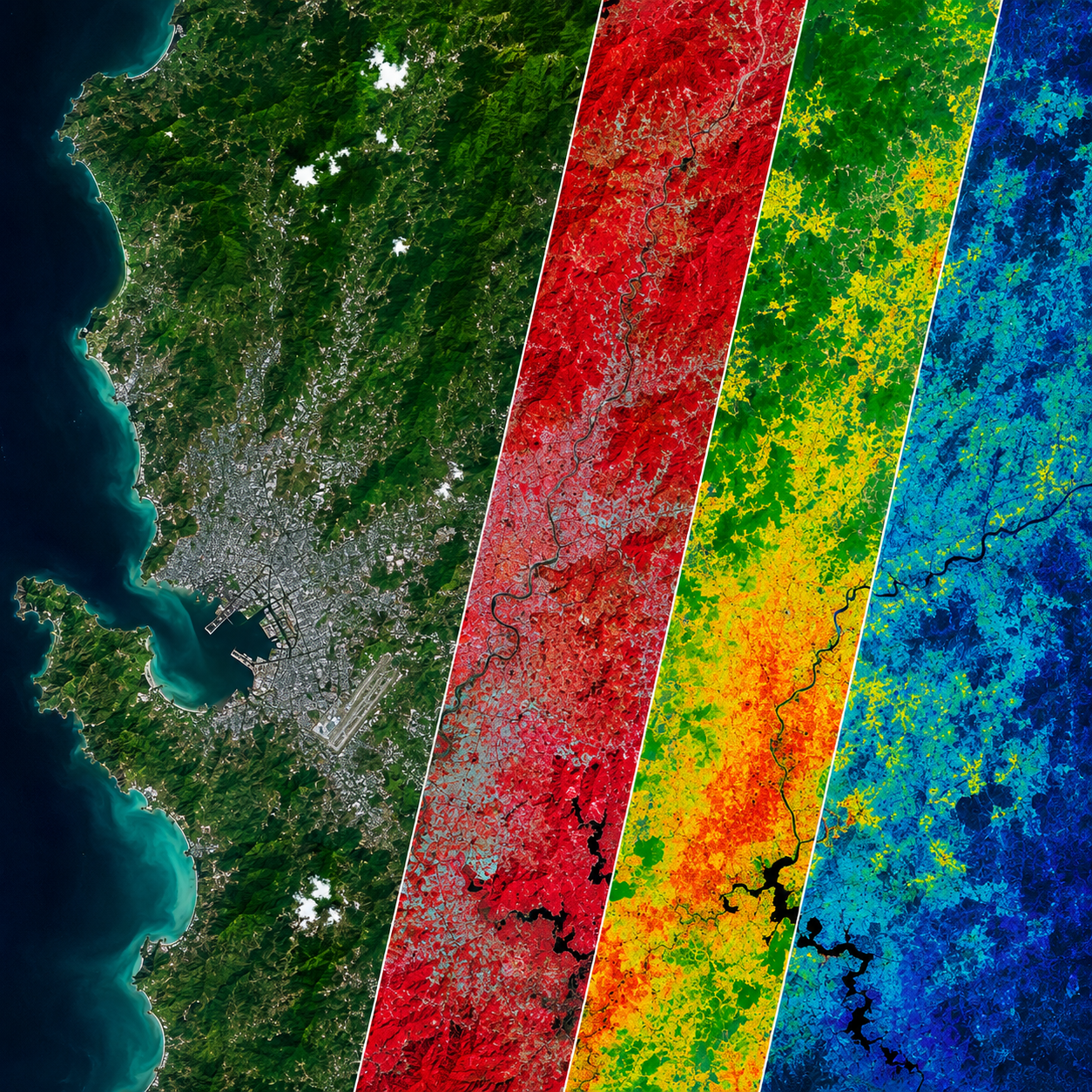
Multi-temporal change detection, vegetation tracking, and environmental baseline analysis utilizing wide-area optical satellite data.
Custom Geospatial Solutions
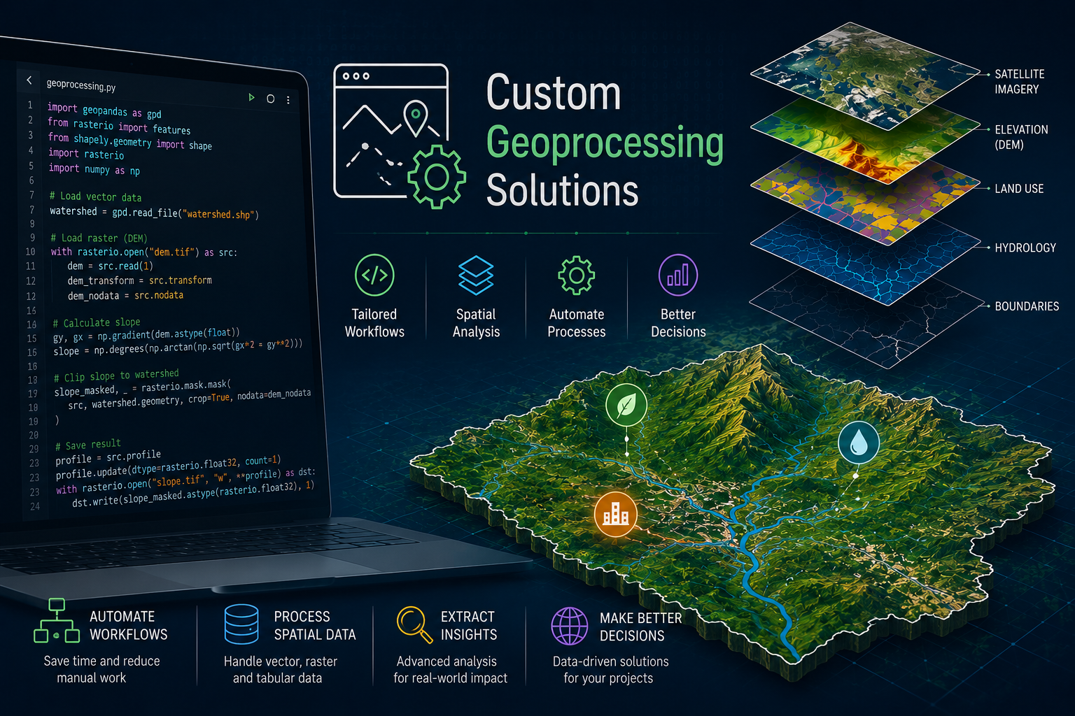
Tailored Python scripting packaged into secure, standalone local executables (.exe) to eliminate manual data processing bottlenecks.
Industries We Support

Environmental Monitoring
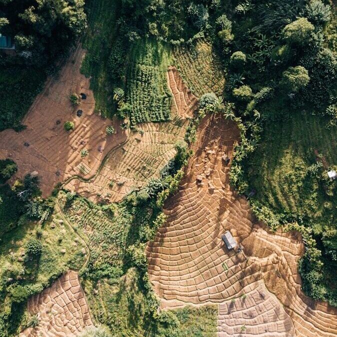
Land Resources Assessment

Agriculture & Vegetation Evaluation
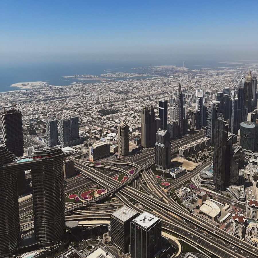
Urban & Regional Development
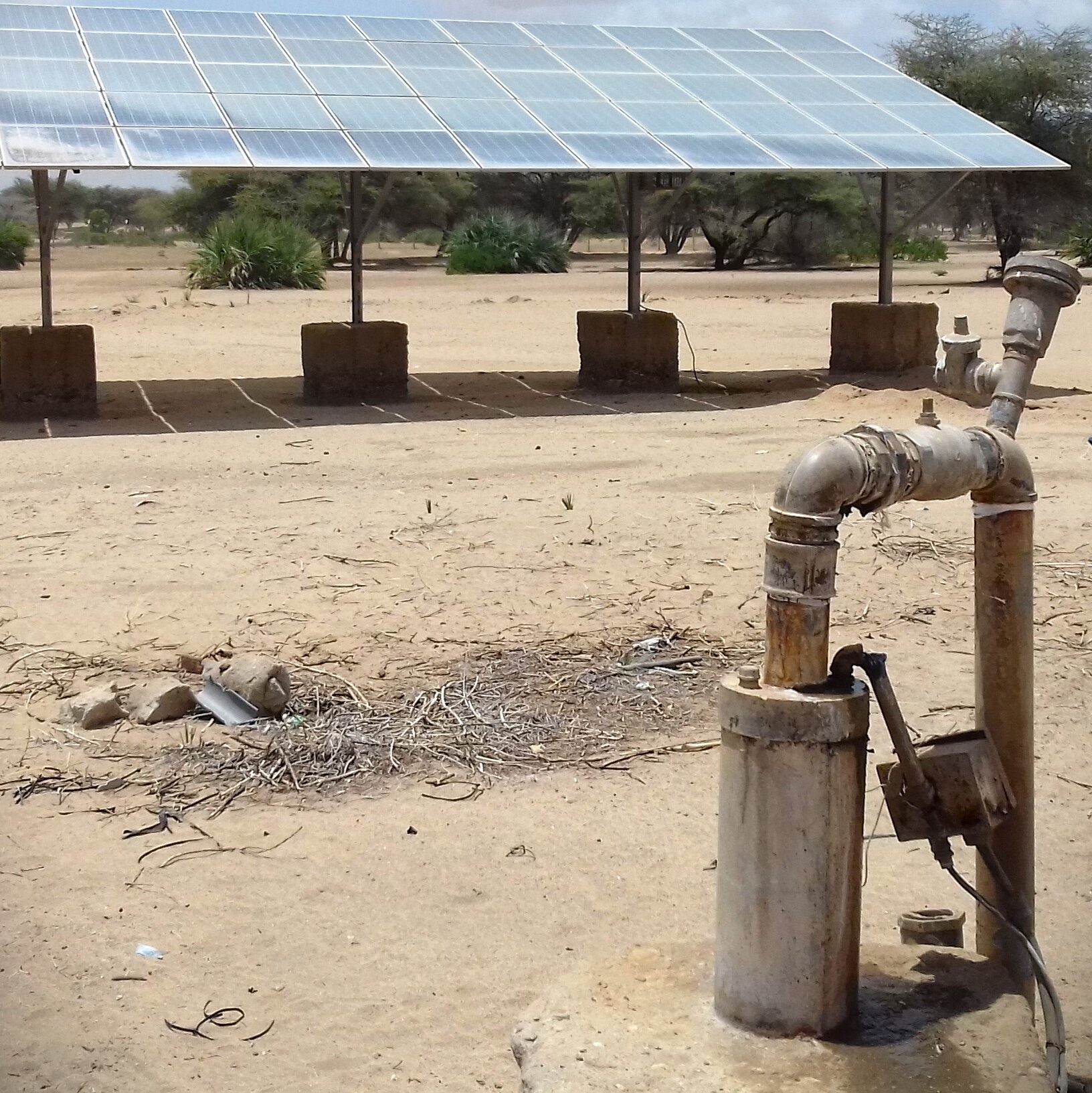
International Development